LS Sutton – Area Porosity Analysis
LIVEABLE NEIGHBOURHOODS
We are helping with a bid to create a Liveable Neighbourhood in Sutton.
The bid, to Transport for London, must show that we can create a neighbourhood where walking and cycling are actively promoted, together with low-traffic initiatives. This would create a pleasant environment for all and would be linked to public transport provision.
In Sutton it is hoped that a tram/bus rapid transit system will be built which would form an important part of a liveable neighbourhood.
The route serves central Sutton and the general feeling is that such a neighbourhood would be best near the town centre.
Most shoppers in Sutton walk, cycle and use buses and trains.
It was felt that access to the town centre, from both local residential centres and railway stations could be improved. And the High Street should be entirely pedestrian only.
It was stressed that it is important to keep the public and local councillors on side.
We will be having further meetings to discuss this and any developments will be reported on the website.
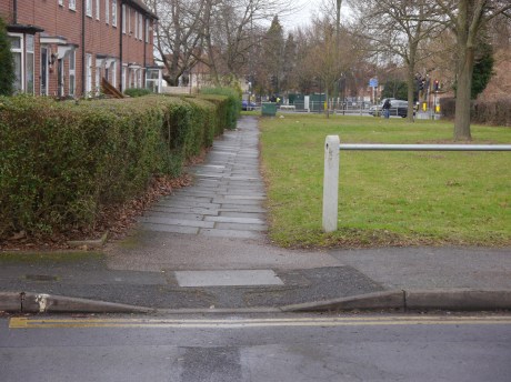
Attached here is a porosity map which shows where the main roads and public transport corridors are and areas where is is felt that they may be too porous to traffic taking short cuts.This is used when looking at the possibility of creating a Liveable Neighbourhood.