LB Sutton is consulting on three conservation areas, Cheam, Wrythe Green and Beddington Park.
Set out below are details of how to reply on these proposals (taken from the LBS website):
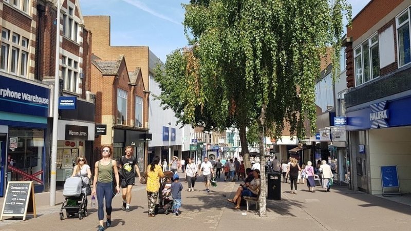
Conservation Areas Consultation (from the LB Sutton website http://www.sutton.gov.uk)
The Council is currently consulting on the following Conservation Area Character Appraisals and Management Plans between 10 February and 25 March 2021, and we would like your views:
Draft Cheam Village Conservation Area Character Appraisal and Management Plan
Draft Wrythe Green Conservation Area Character Appraisal and Management Plan
Draft Beddington Parks Conservation Area Character Appraisal and Management Plan (including Carew Manor and Church Lane Conservation Areas)
What is a Character Appraisal and Management Plan?
A Character Appraisal considers what is special about a conservation area and highlights those parts that are of a good character and those areas in need of improvement. A Management Plan provides guidelines on how the good elements should be protected and other areas improved. It also considers whether any boundary changes are required for a conservation area.
When does the consultation open?
The consultation will be open from 10 February to 25 March 2021.
How to get involved
We would like you to review the above documents and send your views via:
A questionnaire response on Council’s Consultation Hub ‘Citizenspace’:
Beddington Parks Questionnaire
Cheam Village Questionnaire
Wrythe Green Questionnaire
Email us at planningpolicy@sutton.gov.uk; or
by post to: Strategic Planning, London Borough of Sutton, 24 Denmark Road, Carshalton, SM5 2JG; or
A presentation and discussion of each document will be given at the below local committee meetings:
Beddington Parks – Beddington and Wallington Local Committee, 2 March 2021, 7.00pm
Cheam Village – South Sutton, Cheam and Belmont Local Committee, 11 March 2021, 7.00pm
Wrythe Green – St Helier, The Wrythe and Wandle Valley Local Committee, 4 March 2021, 7.00pm
Can I see a hard copy?
Yes. The documents are available in the below libraries. The opening times are set out below:
Cheam Library, Church Road, Cheam, SM3 8QH: Wednesday & Friday: 10am – 4pm
Wallington Library, Shotfield, Wallington, SM6 0HY: Tuesday, Wednesday and Friday: 10am – 4pm, Thursday: 10am – 7pm and Saturday: 10am – 2pm
Circle Library, Green Wrythe Lane, Carshalton, SM5 1JJ: Weds & Friday: 10am – 4pm
Sutton Central Library, St Nicholas Way, Sutton SM1 1EA: Monday, Tuesday, Wednesday and Friday: 10am – 4pm, Thursday: 10am – 7pm and Saturday: 10am – 2pm
Please note that these opening times may be subject to change in accordance with government guidelines on coronavirus and should be checked on the Council’s website https://www.sutton.gov.uk/libraryopeninghours.